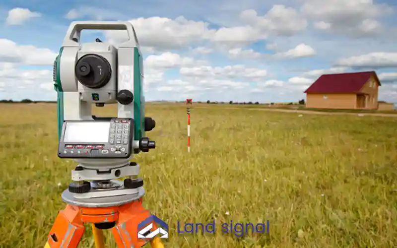
A land survey in Ontario, also called a property survey, is a precise assessment of your land’s boundaries, dimensions, and structures. It identifies property corners using GPS coordinates and marks distances between them. The survey also highlights any roads that meet the property line and compiles all findings into a formal map.
This process helps homeowners clearly understand and protect their property rights. Since properties change over time, most surveys remain valid for five to ten years before a new one may be required.

Factors Affecting Land Survey Costs
The cost of a land survey in Ontario depends on various factors. These include the type of survey, property size, and shape. Larger or irregular properties typically require more resources. The property’s location and accessibility also impact costs, with remote or challenging areas being more expensive.
Additionally, terrain features like dense vegetation and limited property records can complicate the process. A licensed Ontario Land Surveyor ensures adherence to legal standards and provides accurate results tailored to your property.
Start Your Project with Confidence
At Land Signal, we assist with construction and renovation permits, as well as Garden House and Laneway Suite designs. Let our experts guide you through every step.
If you have any questions or require expert guidance about land survey cost in Ontario, feel free to fill out the form below to receive personalized consultation from Land Signal team.
Contact Us
Still figuring things out? Whether you’re in the early cost estimating and designing stage, ready to have your extension dwelling, or caught up in your permit process, we’d love to hear from you. Reach out, and let our experienced team help you find the right home or maximize your property’s value.
Get In Touch
"*" indicates required fields
Frequently Asked Questions
Land surveys are conducted for various reasons, such as identifying exact property boundaries, resolving disputes, or fulfilling lender requirements. They are also useful when constructing new structures, locating easements or utilities, updating outdated surveys, or gaining a better understanding of a property before purchase.
Canada offers several types of property surveys, including boundary, topographic, location, construction, subdivision, and site-planning surveys, as well as Surveyor’s Real Property Reports (SRPR). Each survey serves a specific purpose, offering detailed insights tailored to the property owner’s or developer’s needs.
Title insurance typically does not cover the cost of a land survey. While it offers protection against title-related issues, it cannot replace a professional survey. Moreover, not all lenders accept title insurance as a substitute, so verifying with your mortgage provider is essential.
Land survey expenses are generally not tax deductible in Ontario. However, they may be factored in when calculating capital gains if the property is sold, potentially reducing the taxable amount of your profit from the sale.